Where's your local stomping ground? While exploring some of the 'Public Routes' on BikeRadar Training, we stumbled upon Andy Brogan's Peru maps. Intrigued by his routes and descriptions – "Everything you could want, long gravel-road climbs and descents, technical climbs and descents, and amazing views" – we contacted him to find out more about his riding scene.
Andrew moved out to Arequipa in February 2011, after visiting the area while travelling through South America. He started filling his days project managing for new NGO Put Them First, teaching English on the side and exploring the trails and roads that scatter the surrounding area...
"Arequipa is Peru's second-largest city and sits in the Peruvian sierra at 2,300m above sea level, giving us consistently good weather for 10 months of the year," says Andrew.
"Think warm, dry, sunny and perfect for riding! When rainy season hits in January/February time, it normally only rains in the afternoons, meaning dry morning rides are still possible, as are wet afternoon ones!
You do face the danger of getting back home to a cold shower or, even worse, no water at all... Peruvian infrastructure leaves a little to be desired.
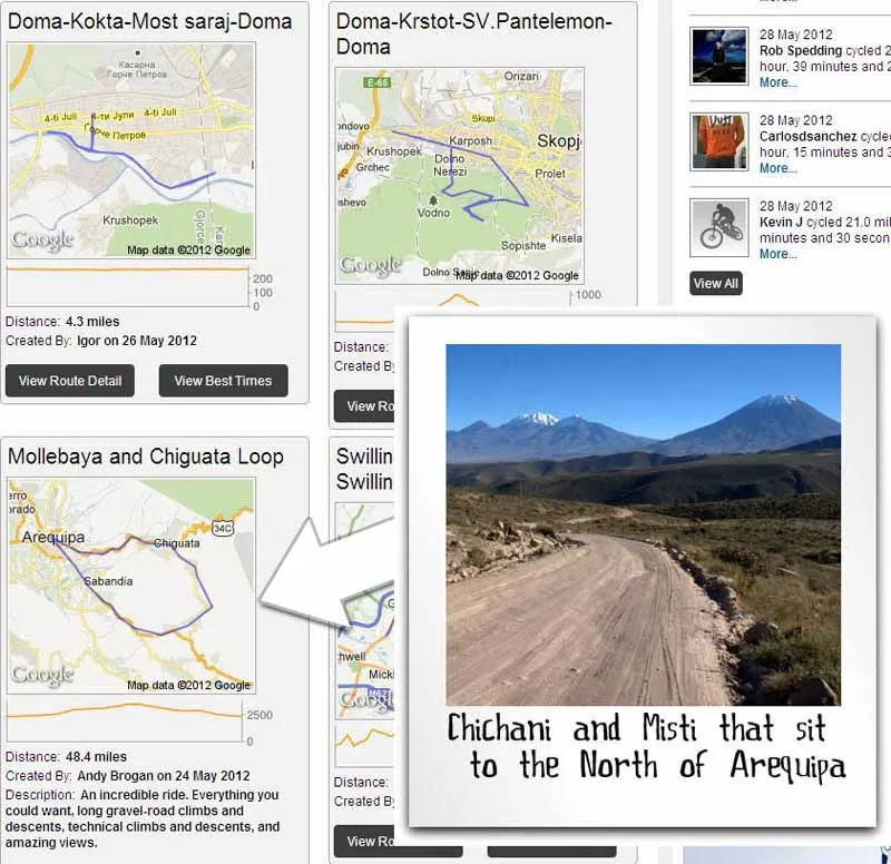
Andrew's uploads to BikeRadar Training made us want to know more
"Arequipa comes into its own once you're out of the city, though. It has three volcanoes on its outskirts – Chachani, Misti and Picchu Picchu. The foothills of these are a 20-30 minute ride from the centre. The foothills and countryside out here are criss-crossed with 'roads' (I use the term loosely!), service routes, tracks and animal trails, and it's all fair game for riding. The surfaces can range from Tarmac of varying quality to hard-pack gravel, loose stones, rocks and soft sand, and will often change in an instant, keeping you very alert.

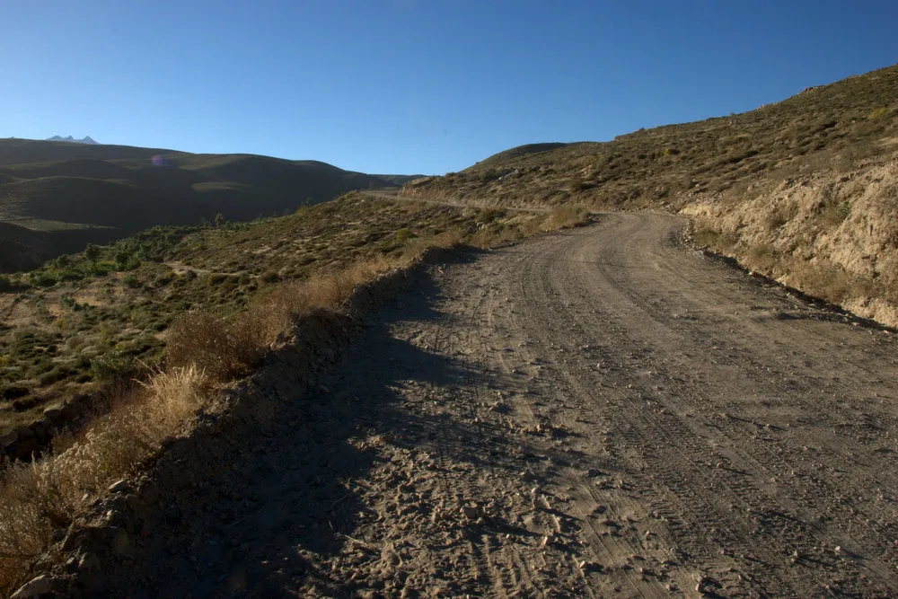
This is the 'road' to Chiguata – well, it used to be a road, until it was damaged by the rain
"On the sections when you can relax in the saddle, or during breaks, the views are incredible – rolling hills, snow-capped volcanoes and blue skies. It's not unusual to see condors and other birds of prey circling overhead, as they ride the thermals in the valleys. There's evidence of other wildlife out there but it's hard to spot much more than the odd lizard or rodent. It's more common to come across a herd of llama or alpaca grazing on the scrub land and taking a lazy pause to watch you ride by. It's a good idea to keep a bit of distance and not stop, though – they can get a bit jumpy, and often spit!
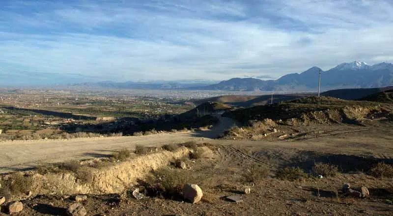
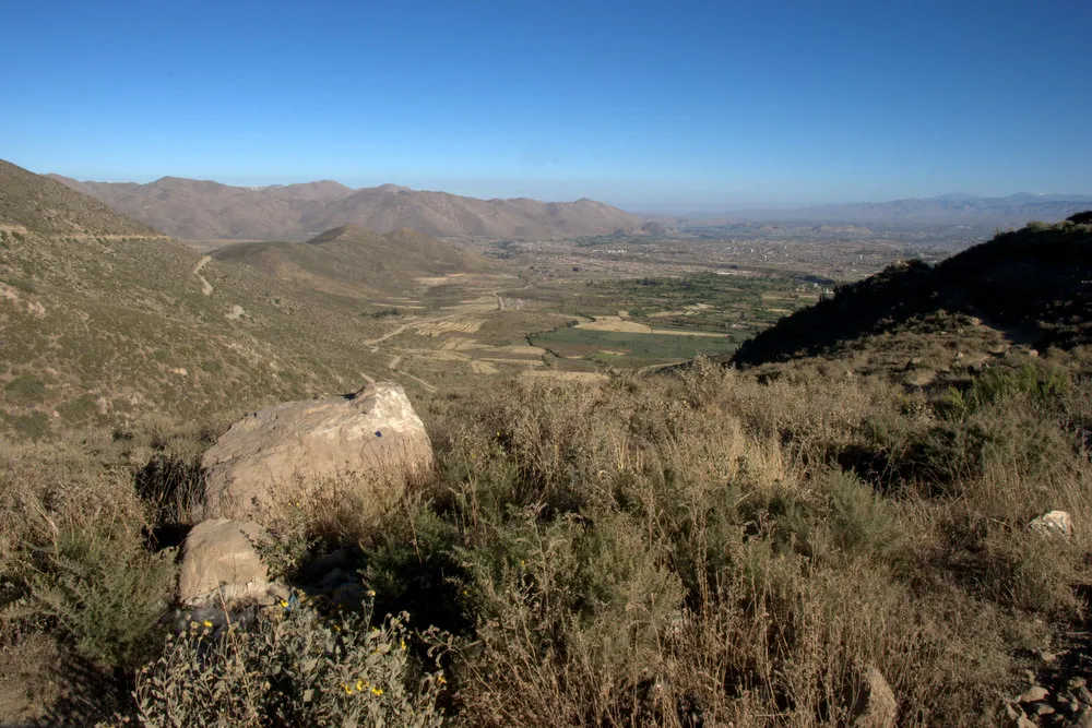
Looking back down the road towards Mollebaya, Arequipa
"There are no end of domesticated animals roaming the streets in the villages. You see herds of cows or sheep being led down the road by a farmer on a donkey, holding up what little traffic passes through. These can slow you down but they add to the charm of riding out here – the dogs, on the other hand, are a menace. Many like to give chase and snap at your ankles as you pass, following you until they've got bored of chasing you or been distracted by a car. Some seem to do it for fun, but others are incredibly aggressive, making it quite an intimidating experience to be riding down the road with a stream of angry dogs in your wake.
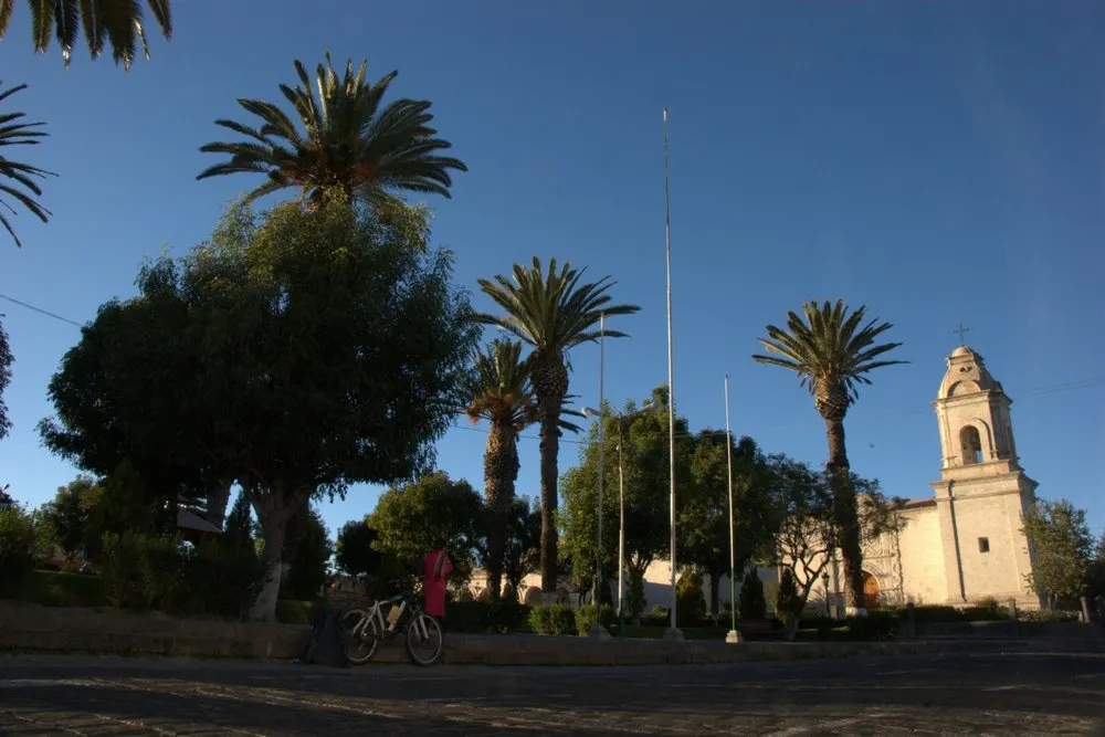
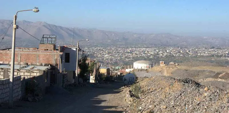
Characato is a beautiful little village along the start of most of Andrew's routes
"The first few rides I took were exhausting – being this high above sea level really takes its toll at first. After a few weeks, though, my body had adjusted, and I started being able to take longer rides and at a quicker pace. I can still feel the effects of the altitude on some of the longer rides, particularly when reaching the mid-3000m heights. A shortness of breath and lack of energy are the two main symptoms. It's just important to remember to adapt to that, slow down and take more breaks if you need them.
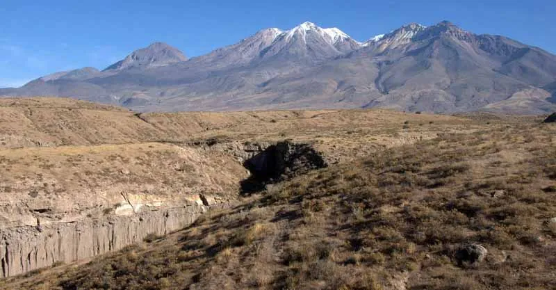
Chachani volcano, near Misti, Arequipa, Peru
"'Foothills, Mollebaya' is one of my favourite routes, and was the first I ever took out here. Out of the city into the farmland, you pass through three villages before starting to climb on a gravel track up into the foothills – it's marked as the major road (34D) on the maps, but it's worth pointing out that whatever the map implies about the state or size of the roads is probably wrong! After the climb you reach a split in the road – go left to carry on the 34D and climb further into the foothills, straight ahead on a technical climb and then technical descent into San Isidro, or right down another gravel/sand track that drops you back to the main roads returning to Arequipa. If I'm pushed for time, I take the right branch and loop back to Arequipa, making the route 25 miles and just over two hours long. The photos give a better idea than I could ever convey in words about the scenery and views, so I'll let them do the talking.
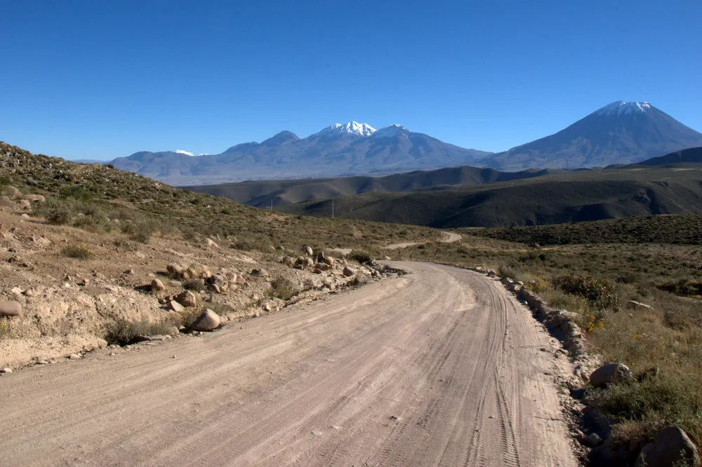
Looking back at Chachani and Misti route 34D – it's marked as a major road on maps!
"Unfortunately, I'm leaving Arequipa in September to return to Canterbury, Kent, for a year and do a masters degree. I have no doubt I'll be living back in Peru soon, though!"
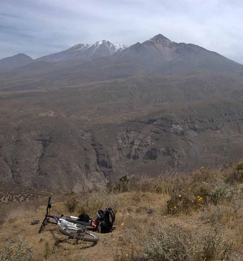
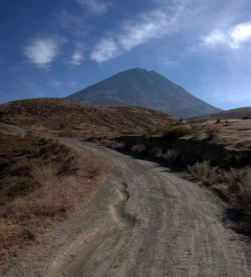
End of the road, near Misti, Arequipa
