While some bike navigation devices try to perfect their on-screen mapping, other devices use simple LEDs to point you in the right way. New Kickstarter project Blubel wants to help you choose the least hazardous route, based on data that it helps record.
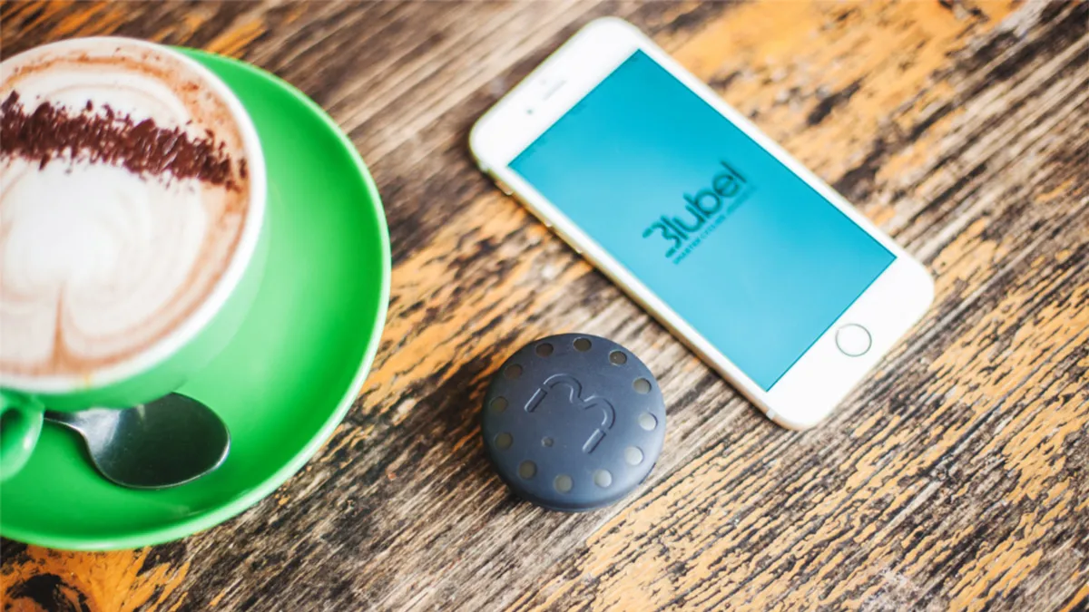
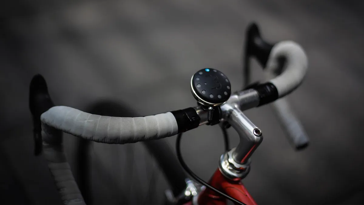
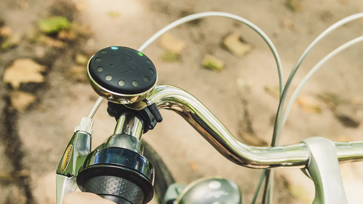
Reminiscent of a hockey puck, the Blubel is a waterproof Bluetooth-enabled unit which sits inside a specially designed chrome bike bell, and gives directions in real time. There’s no built-in GPS so a connection to a smartphone is essential, and you’ll also need the Blubel app, which will be available on iOS and Android. The device does feature a compass, a gyroscope and an accelerometer.
- Best GPS devices for cycling
- Hammerhead navigation - first look
- Urban routefinder Beeline will add navigation to your bike for peanuts
“The Blubel app finds three routes that are the quietest and most cycle friendly. It takes into account hazard data, like where the user rang their bell or stopped suddenly, to refine the routes. The cyclist can also select an overlay that shows potential hazards, based on reports from the community,” Blubel founder Sasha Afanasieva told BikeRadar in an email.

Once the route has been set, the Blubel uses coloured LEDs around the edge of the unit to get your attention, and the lights spin in the direction you’re supposed to turn at the next junction. If you happen to miss a turn or get lost, the Blubel automatically re-routes to get you back on track, and Blubel say it will work anywhere in the world. The lights are also used to denote the bearing to your destination, and warn you about upcoming hazards.
In a similar vein to the popular Waze driving app, which crowdsources information on the locations of potholes, traffic jams and speed traps, the Blubel takes note of where the bell is rung and uses that information to adjust routes.
“The bell rings denote a place where the user felt unsafe. We combine this information with other data like what type of road it is to understand what the hazard may be. We will also give users the option to clarify the reason for ringing the bell, or report incidents to us at the end of the journey through the app,” Afanasieva said.
Information is also pulled from the built-in gyroscope and accelerometer to detect if the user had to brake suddenly, to help identify potential hazards on certain routes.

Initially the unit will come with mounts for 22mm, 26mm and 32mm bars, but there’s still a quick release mount (possibly for hire bikes) in the works. So you don’t need to remove the whole bell from your bars every time you leave your bike, Blubel has designed a spring loaded quarter turn mount to secure the unit inside the bell. The unit also has a claimed battery life of two weeks and recharges via USB.
We've seen a few bike navigation devices recently which dispense with maps, instead using LED lights to indicate which direction you should head in. BeeLine only offers a heading, and the Hammerhead uses LEDs to give turn-by-turn directions. Heck, most Garmin computers and watches offer some form of navigation.
What makes the Blubel so unique is its ability to guide you around road works, traffic jams and other hazards you’d rather not come across.

Blubel aren’t just looking to make a nifty cycling gadget either, they’re looking to share what they learn to help make cities more liveable by improving infrastructure.
“We want to show how cyclists behave in their environments, like where and when they prefer to ride, where they indicate alerts or brake, which routes are busy, and when and where they park their bikes,” says Afanasieva. “This information will help urban planners to map new route layouts and other infrastructure, like bike parking, ensuring the city is dynamically shaped by the needs of the citizens.”
With this the Blubel has already won the IBM Smarter Cities challenge, and the team behind it is working with the European Space Agency Business Incubation programme.
So far it’s taken two years of work to get the Blubel to where it is today, and if successful they plan to begin fulfillments in December 2016.
For more info or to donate check out the Blubel kickstarter campaign.

