Getting itchy feet to test yourself on challenging terrain and see new countryside on quiet, low traffic roads? There’s no reason to travel to Mallorca or the Canary Islands; when the time is right and when restrictions allow, the Carmarthenshire region in Wales can offer you all of that.
There are loads of routes up into the hills, including a stage from the 2019 OVO Women’s Tour, and roads leading out into sparsely populated back country, along with the chance to take on the gruelling climb of Black Mountain – one of the toughest ascents in Wales.
Plus you get coastal views and charming market towns that welcome cyclists with open arms, with an abundance of accommodation and refreshment options.
Getting to Carmarthenshire is easy, too. It’s a short hop from Swansea, plus there are main line train stations in the towns of Carmarthen, Llanelli and Whitland, and The Heart of Wales line stops at Llandeilo and Llandovery. With the M4 ending just 15 miles from Carmarthen, it’s easy to drive to as well.
Here’s our run-down of what Carmarthenshire has to offer road cyclists, why it’s home to some of the best riding in Wales and our pick of the best routes recommended by Discover Carmarthenshire.
Why Carmarthenshire is home to the best riding in Wales
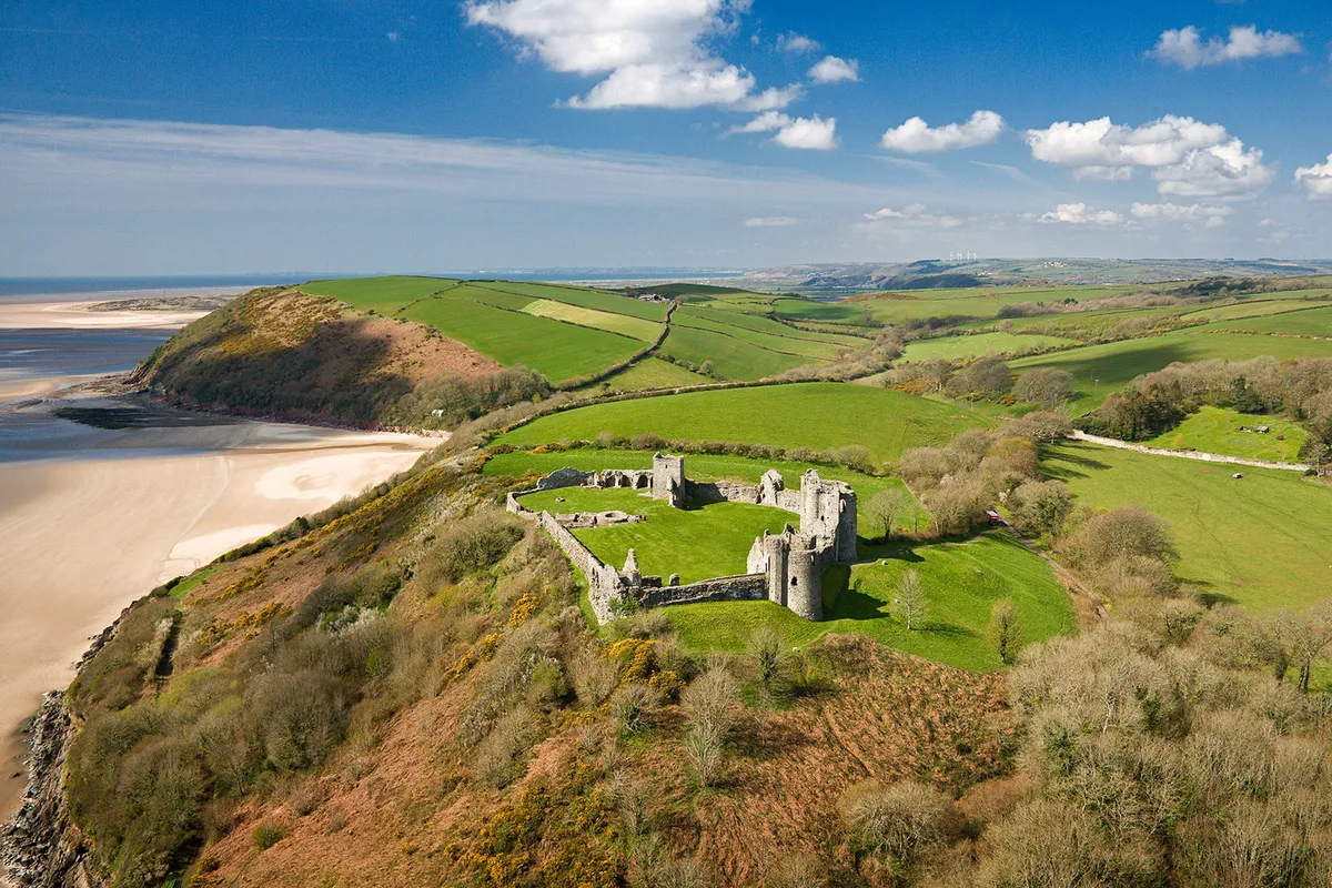
Situated in the south-west of Wales, Carmarthenshire has seaside, estuaries and beaches. That includes Pendine Sands, one of the longest beaches in Wales and scene of land speed record attempts from the early twentieth century.
But head inland and there’s untouched, hilly countryside, which runs up to and includes the western edge of the Brecon Beacons. It’s an area now dominated by sheep farming and forestry, with wild landscapes to explore.
Much of the county is sparsely populated, with small villages nestled in the river valleys, while Llandeilo and Llandovery are colourful market towns with plenty to do off the bike. It’s cycle-friendly too, with welcoming cafes and shops, and the (often Welsh-speaking) locals having the time to stop for a chat.
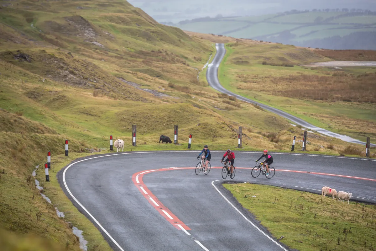
Discover Carmarthenshire has put together a collection of 23 road cycling routes in Carmarthenshire, taking in all of this varied terrain and each graded for difficulty.
They range from the easy to the epic, so you can mix big rides with recovery days to make for a varied cycling menu. You can view the map and profile online, read a description and download a GPS file for each route before you start out.

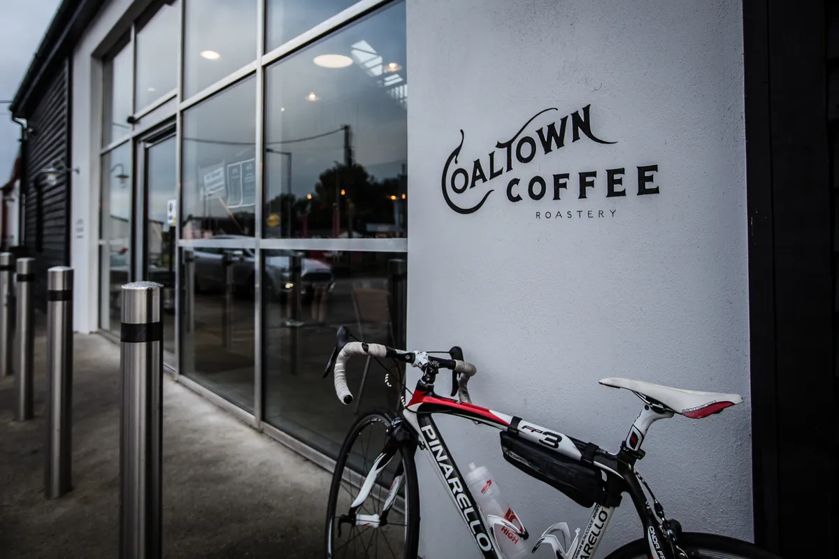
It’s not just riding on the menu either, with Carmarthenshire’s pubs, cafes and restaurants offering top-notch food and drink: refuel with locally-roasted coffee from Coaltown in Ammanford and the Welsh cakes that powered Geraint Thomas to Tour de France victory, treat yourself to a warming bowl of ‘Cawl’ (Welsh lamb stew), and enjoy local gin from the Ginhaus Deli in Llandeilo.
Carmarthenshire offers lots of accommodation options for cyclists for an overnight or longer stay, with secure bike storage and bike washing facilities. That includes B&Bs and hotels, such as The Plough near Llandeilo and Stradey Park Hotel in Llanelli, which both cater to cyclists. You can also book self-catering barns and cottages for larger groups.
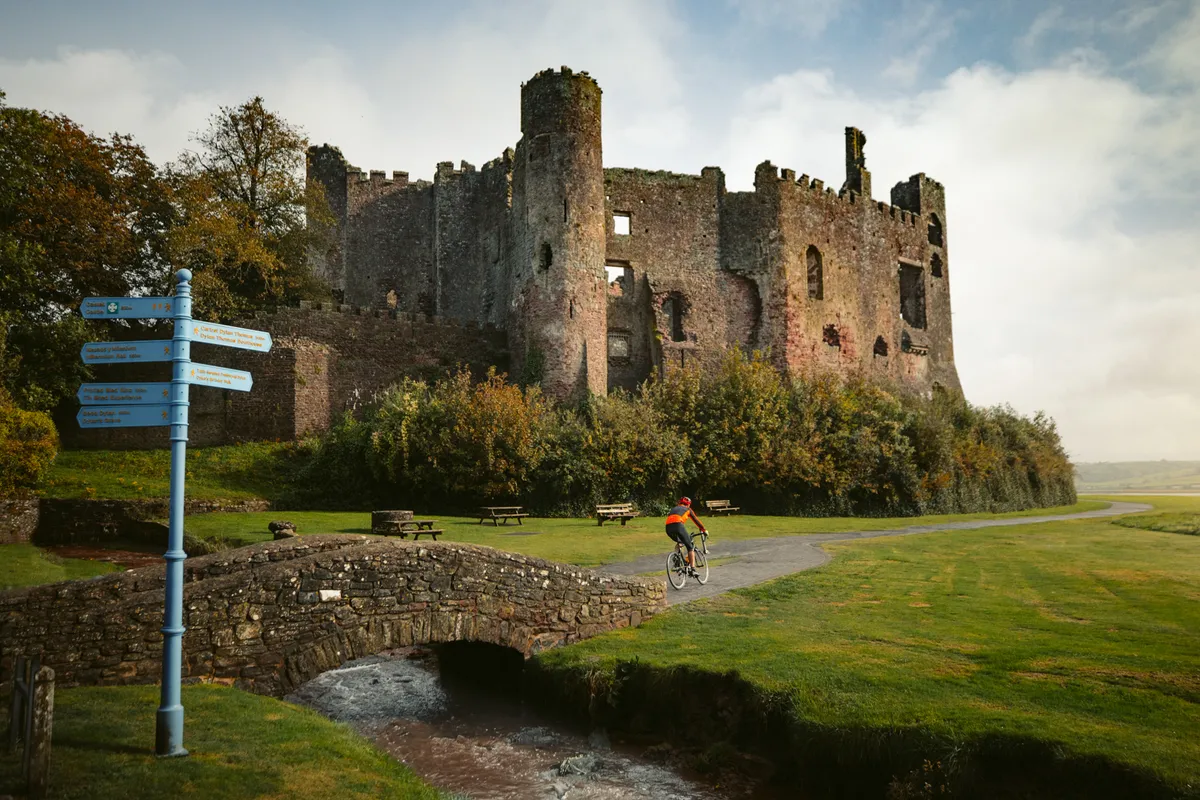
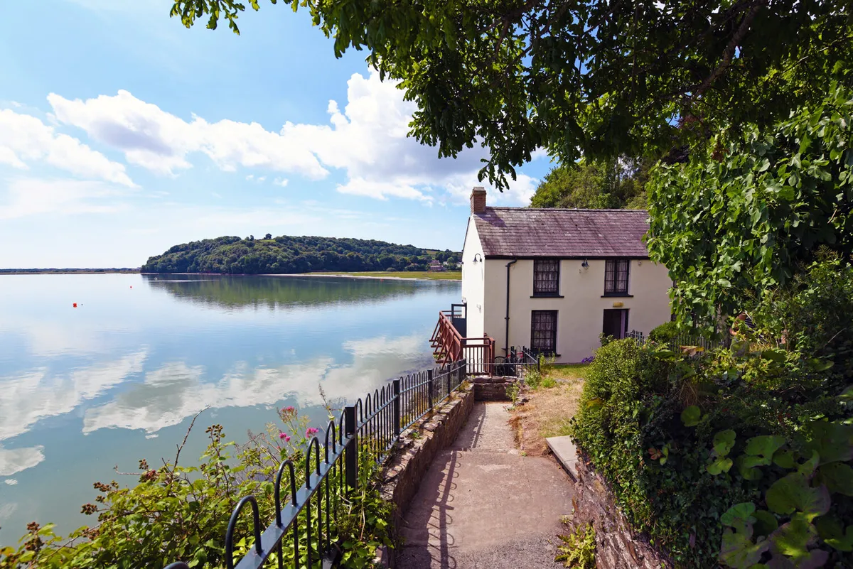
For 2021, there’s a new offer of Bikecations, with two-day breaks and a gentle week-long option. All are based in Carmarthenshire’s towns and offer recommended routes for each day of your stay, along with highlights to see on the way – from castles and beaches, to the National Botanic Gardens of Wales, and Dylan Thomas’s Boathouse.
Looking for mountain biking or gravel bike options? Carmarthenshire has off-road riding too, including the Gorlech Trail at Brechfa, and the Cwm Rhaeadr Trail and Crychan Forest, north of Llandovery.
Take a look at Discover Carmarthenshire’s guide to Carmarthenshire MTB trails. Plus there are traffic-free, family-friendly cycling routes, such as the Millennium Coastal Path, which runs to Pembrey Country Park (where cycle hire is also available).
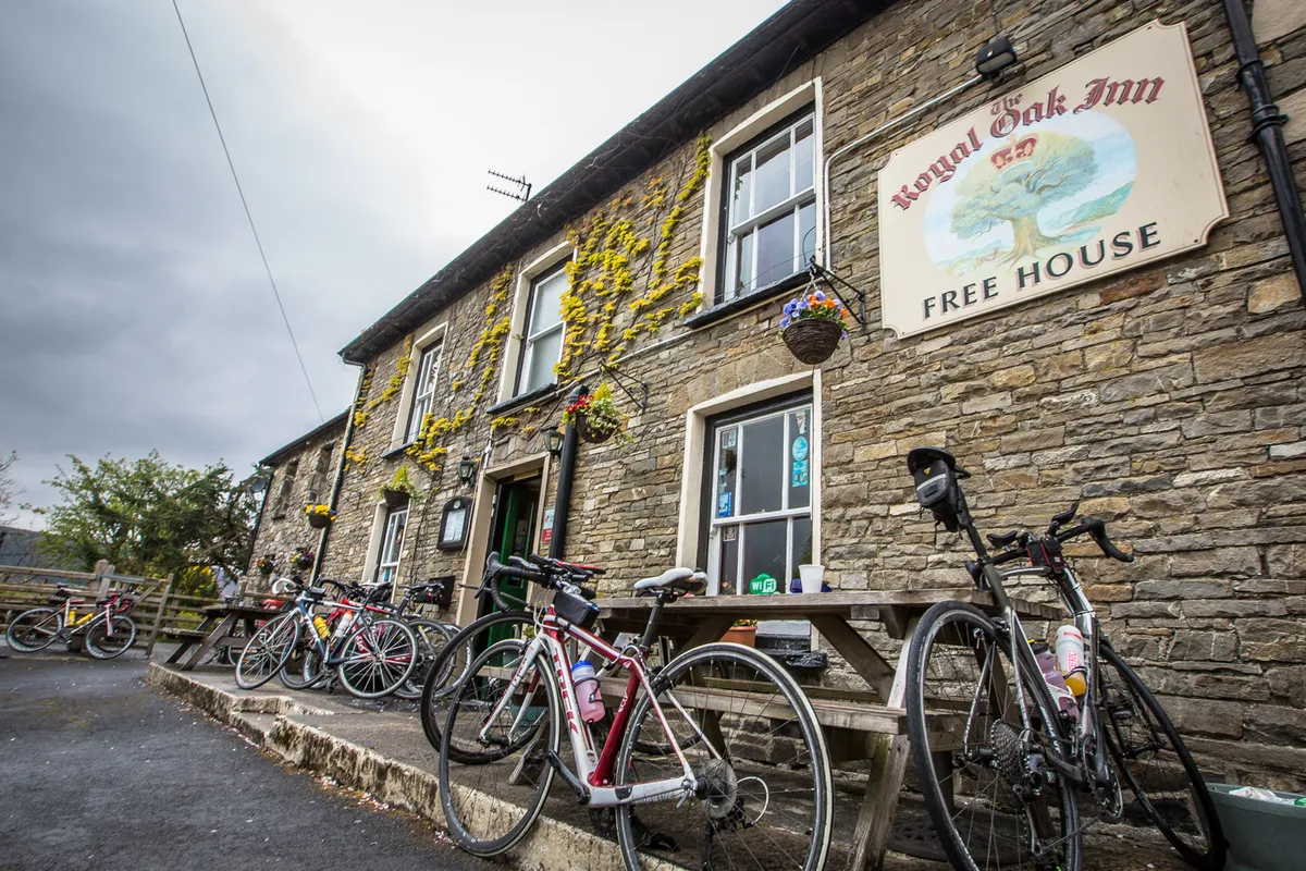
Six must-ride road cycling routes in Carmarthenshire
With 23 road cycling routes to choose from, there’s plenty to challenge you in Carmarthenshire. We’ve picked our six favourites, which range from 62km to 105km, with between 1,000m and 1,700m of climbing.
If you need an easy day, there are plenty of shorter rides recommended by Discover Carmarthenshire. Or, if you’re up for a real challenge, why not pit yourself against the Big Hills and Big Views route. With 2,000m of climbing, it’s rated 9/10 and could take up to nine hours to complete.
1. Big Wilderness Adventure
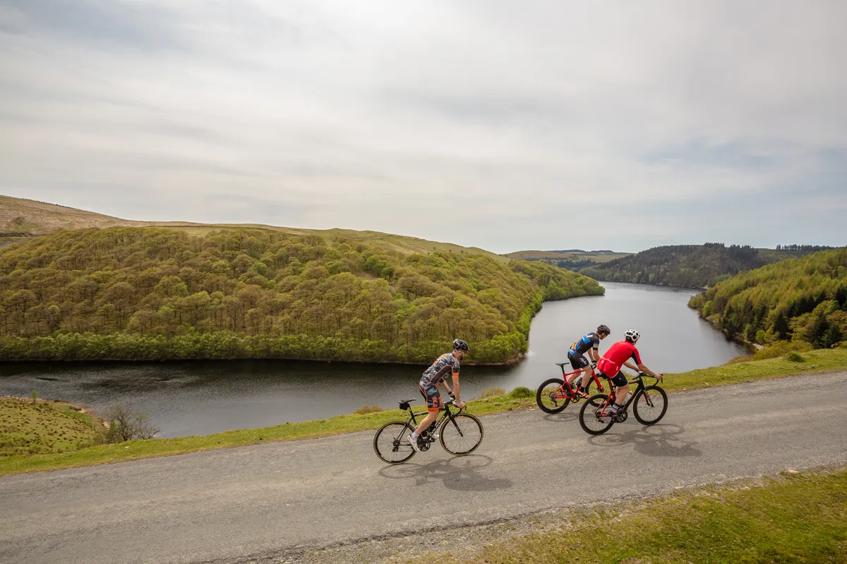
Like many of the recommended rides in Carmarthenshire, the 105km Big Wilderness Adventure starts in Llandovery. Following the Towy valley, you get a 7km warm-up before the first, gentle hill, then climb to the picturesque, forested road around the east side of the Llyn Brianne reservoir.
At the top of the reservoir, there’s a climb to just under 500m before a long, technical descent through remote countryside. A spell on a gradually descending B-road through the villages in the Teifi river valley takes you to the last major climb, before another twisting descent, a few smaller climbs and the ride back into Llandovery.
Be warned though, with long stretches without towns or villages, you’ll find few opportunities for a coffee stop, so take what you need to refuel.
- Start: Llandovery
- Total distance: 105km/65 miles
- Total elevation: 1,700m/5,500ft
- Difficulty rating: 7/10
- Estimated time: 4 to 7 hours
- Map and profile: Big Wilderness Adventure
2. Carmarthen Bay Coastal Route

Just because it’s by the sea doesn’t mean this route is flat. With 1,000m of climbing over the course of 62km, there’s plenty to tax the legs. But like all the best routes, there’s a flattish start of around 16km to get the legs turning.
The climb away from the Towy estuary is followed by a fast downhill towards Carmarthen, before you turn off and start to head uphill, ending with a 10 per cent climb through the village of Crwbin.
A drop into the town of Pontyberem leads to another big climb to 270m, then a descent into Five Roads. Out of the village comes the steepest climb on the route before a sweeping descent towards Llanelli.
Skirting the town, you then join the traffic-free Millennium Coastal Path, with its incredible views to the Gower peninsula. There’s a section of unpaved path back to the start at the Pembrey Country Park, where there’s a coffee shop, although you can bypass this via quiet roads.
- Start: Pembrey Country Park
- Total distance: 62km/38 miles
- Total elevation: 1,000m/3,280ft
- Difficulty rating: 5/10
- Estimated time: 2.5 to 5 hours
- Map and profile: Carmarthen Bay Coastal Route
3. OVO Women’s Tour Route
Follow the route of the Carmarthenshire stage of the 2019 OVO Women's Tour with this 102km loop out of Llandeilo.
There’s a short categorised climb to start, followed by a descent. Then comes the big event – the 493m Black Mountain. At 7km long with a 5 per cent average gradient – peaking at 10 per cent in places – it’s one of the best climbs in Wales.
There’s an equally big descent into Brynamman, from which you may catch a glimpse of the coast. That’s followed by a gradual descent into Ammanford, home of Coaltown Coffee Roasters, then a series of undulating rural roads bring you back to Llandeilo.
There are several other options for stops in cafes and pubs along the way, including the Hangout Cafe in Llandeilo and the Black Lion in Abergorlech, where you’ll find a warm welcome.
- Start: Llandeilo
- Total distance: 102km/63 miles
- Total elevation: 1,700m/5,500ft
- Difficulty rating: 7/10
- Estimated time: 4 to 7 hours
- Map and profile: OVO Women's Tour Route
4. Tywi Valley Tour of the Castles
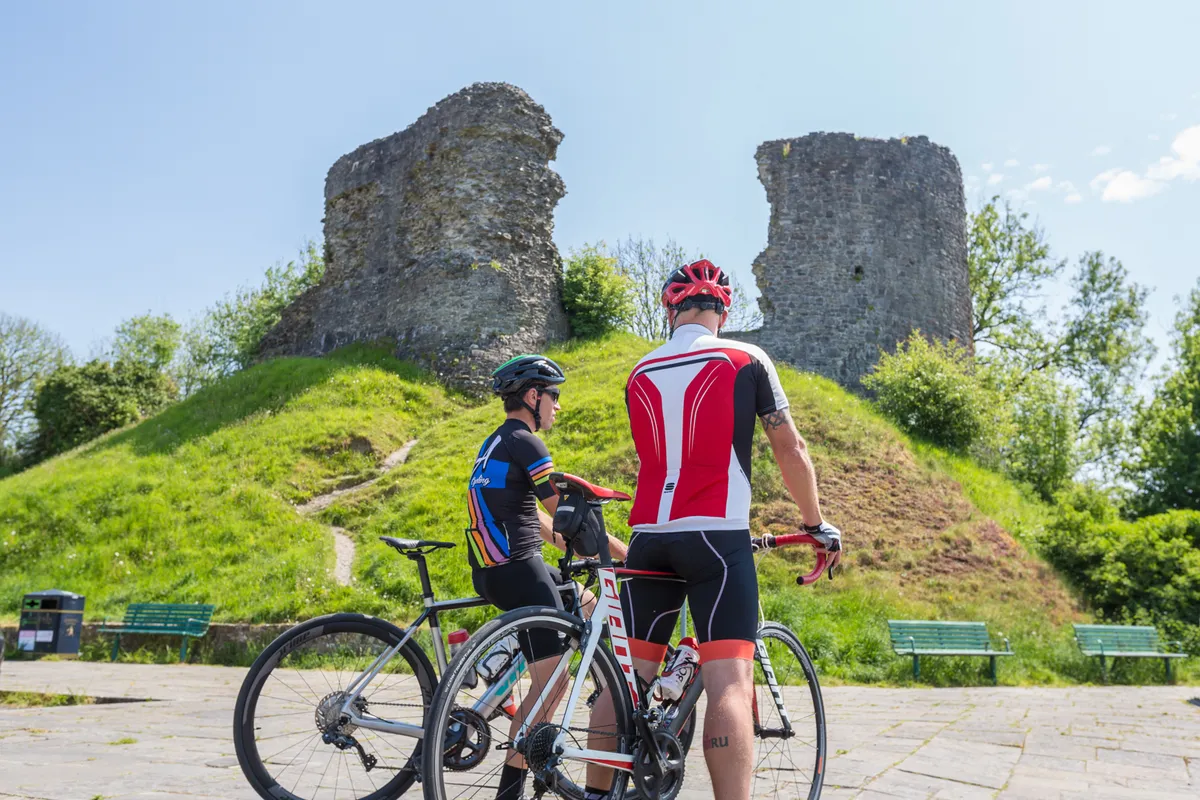
Think of Wales and you think of castles – and there are loads of them dotted along this 95km route, starting in Carmarthen and heading up the lower valley of the Tywi, the longest river entirely in Wales.
The first few kilometres are relatively quiet and flat, before you hit Llanarthne at 12km. If you’ve missed breakfast, a stop at Wright’s Food Emporium is recommended before you head on.
More ups and downs, including the 10 per cent climb at Bethlehem, bring you to Llandovery – with another ancient castle and the chance for a coffee stop at the Penygawse cafe. Now the serious climbing starts with an ascent known as Henllys Hill, but you’re rewarded for your efforts with far-reaching views and a steep descent to cross the river Cothi.
The next section heads off into the wild landscapes typical of Carmarthenshire, with low traffic and vast views – the perfect antidote to tiring legs.
There’s another chance for a stop, at the Forest Arms in Brechfa, before the climb out of the village. At 4km in length, and with a gradient up to 10 per cent, it’s the longest on the route and a sting in the tail to this beautiful day out. That’s followed by a gentle descent back into the Tywi valley and the run back to Carmarthen.
- Start: Carmarthen
- Total distance: 95km/59 miles
- Total elevation: 1,155m/3,789ft
- Difficulty rating: 5/10
- Estimated time: 4 to 7hrs
- Map and profile: Tywi Valley Tour of the Castles
5. West Carmarthenshire Route
Taking in the quiet roads and hilly country in the west of the county, this route finishes with a run along the coast past to the stunning Pendine Sands.
You start at the station in Whitland and head north into the hills, with regular ups and downs while climbing to the viewpoint at 250m (the high point of the route). Savour the view before heading on to 30km of blissfully quiet roads into Carmarthen.
The route to St Clears is up and down, with short, sharp rises along the way, and carries on to Laugharne, with the ruins of the town’s medieval castle overlooking the Taf estuary. You’ll also find the beautiful Dylan Thomas Boathouse museum on the banks of the river – an idyllic spot with tea rooms to refuel.
Laugharne is also home to Brown’s Hotel – a great place to stay and, of course, home to the bar where Dylan Thomas famously spent a good deal of time.
From there, a headwind might slow you down as the road continues to the seaside village of Pendine. To finish, there’s a sting in the tail with a 3km climb back towards Whitland that’s 6 per cent overall and around 15 per cent for the first kilometre.
- Start: Whitland
- Total distance: 102km/63 miles
- Total elevation: 1,650m/5,400ft
- Difficulty rating: 6/10
- Estimated time: 4 to 7hrs
- Map and profile: West Carmarthenshire Route
6. Towy and Cothi Valley
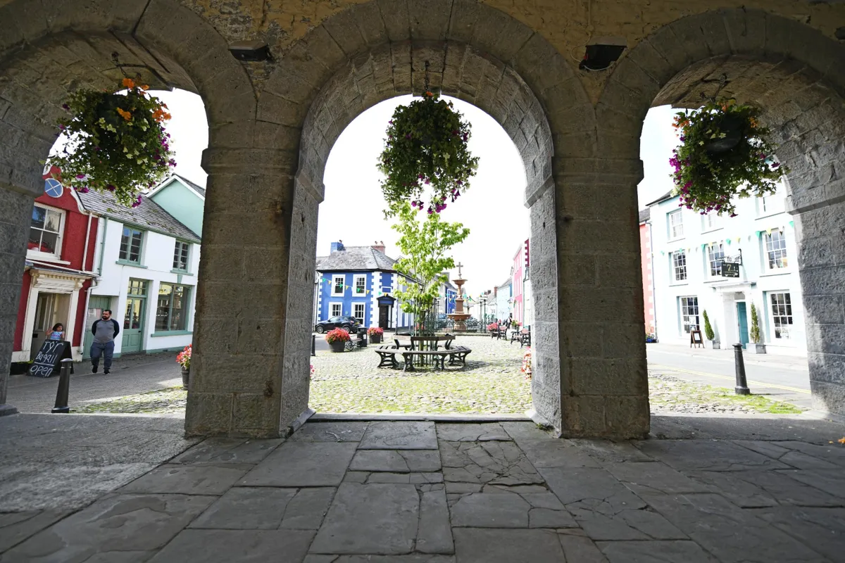
With 1,500m of climbing over 92km, there’s not much respite on this ride out of Llandovery.
The route takes in quiet rural roads and will test your navigation skills, although Discover Carmarthenshire provides downloadable GPS files for all of its routes.
The climbing starts a few kilometres out of town and there’s more before you reach Abergorlech, after which the road follows the Cothi river valley downstream. That’s followed by another steady climb and fast descent to cross the A40, before a relatively flat road through the Towy valley.
At around 50km, you head skywards again, with a 5km climb to 250m. More downs and ups lead past Carreg Cennen castle – the highest point on the route with spectacular views over the Brecon Beacons.
That’s followed by a long descent, then a flat 10km run into town at the end of a tough day in the saddle.
- Start: Llandovery
- Total distance: 92km/57 miles
- Total elevation: 1,542m/5,060ft
- Difficulty rating: 8/10
- Estimated time: 3.5 to 6hrs
- Map and profile: Towy and Cothi Valley

