We are fortunate in the UK to have a network of ‘ways’ crisscrossing our landscapes and national parks, allowing for a wealth of adventures away from the road.
However, for those new to exploring maps and planning gravel riding or bikepacking escapes, the numerous classifications of path, track and trail can be daunting and a little confusing.
Here, we’ll demystify the differences between footpaths, bridleways, restricted byways and byways, explaining where you are legally allowed to cycle, and how to tell the difference when looking at maps or signage.
We will also break down how land access laws for cyclists differ among the four UK nations.
Footpath vs bridleway vs restricted byway vs byway: what’s the difference?
Let’s start with an overview of the way types you’ll encounter, and who’s allowed where.
Footpaths explained
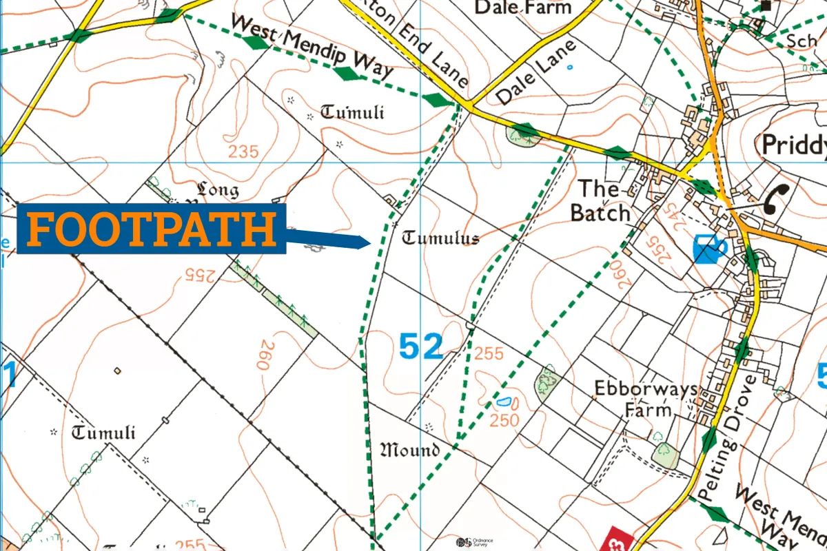
A footpath is a way that may be passed on foot, or using a mobility aid. Cycling on a footpath is forbidden.
Some sources say cycling on a footpath would be a civil offence, rather than a criminal offence – classed as a ‘trespass against the landowner’.
Whether you’re strictly allowed to push your bike on a footpath is also a grey area.
In England and Wales, a footpath is marked on Ordnance Survey (OS) maps as a line of shorter green dashes. Footpaths are delineated by short black dashes in Scotland.
A spokesperson for Cycling UK said: “The rights of way in England and Wales are a bit of mess, with cycling excluded from nearly 80 per cent of the network.
"This exclusion is largely based on historical use of paths, rather than suitability, which results in footpaths you could drive a 4x4 down and bridleways you’d struggle to cycle up. It’s an archaic system and needs modernising.
“Through Cycling UK’s Trails for Wales campaign we’re hopeful the Welsh Government will soon be making these changes. There are also opportunities in England following the ban on wild camping in Dartmoor, which has re-opened the access debate and opportunities to pursue appropriate and sustainable access for all outdoor lovers.”
Bridleways explained
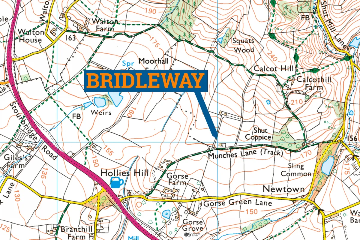
Bridleways permit travel by foot, horseback, or on a ‘pedal cycle’ – cycling if you will.
These routes have their origins in horse-borne transport, their namesake in the headgear used on a horse, and are likely to be wider with horse-friendly gates.
Bridleways are marked with longer green dashes at the same scale in England and Wales. Legally speaking, bridleways don't really exist in Scotland – access on horseback is covered by the so-called right to roam. More on that later.
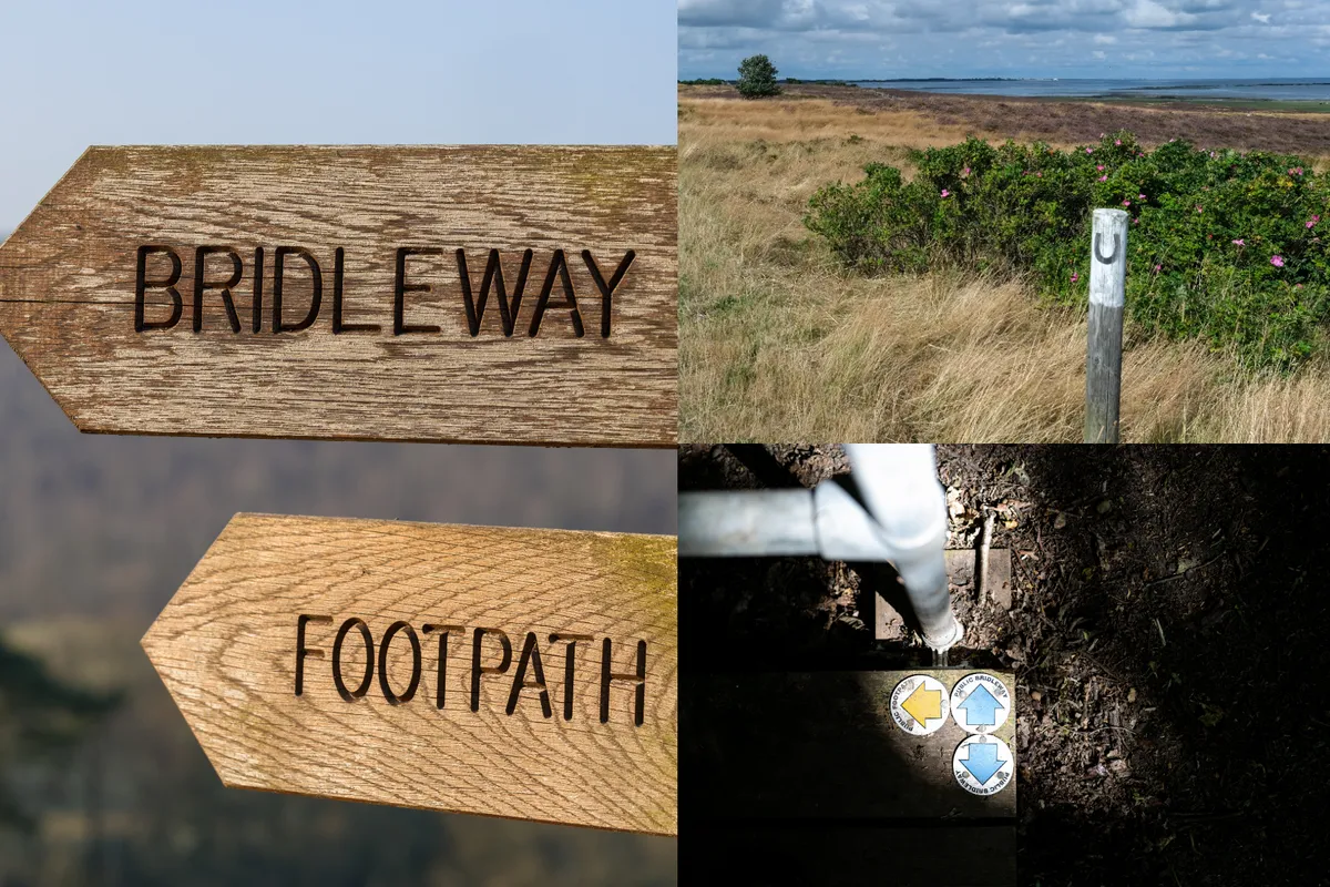
Restricted byways explained
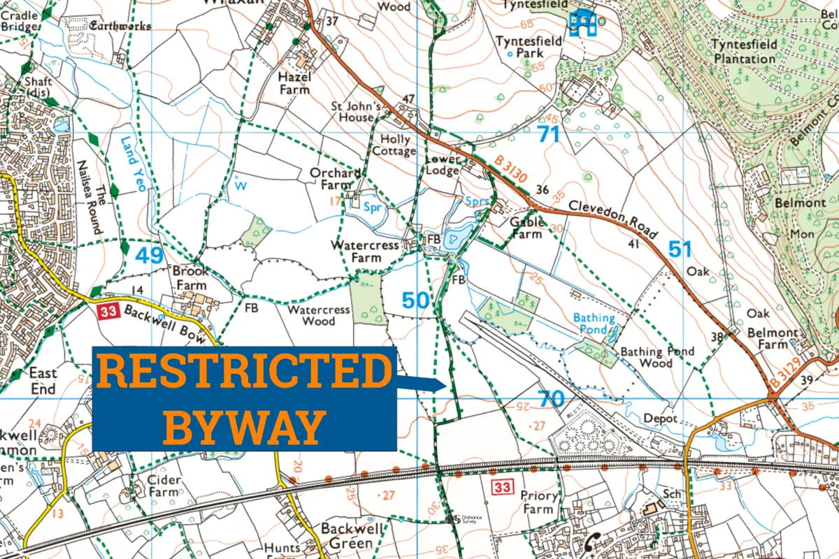
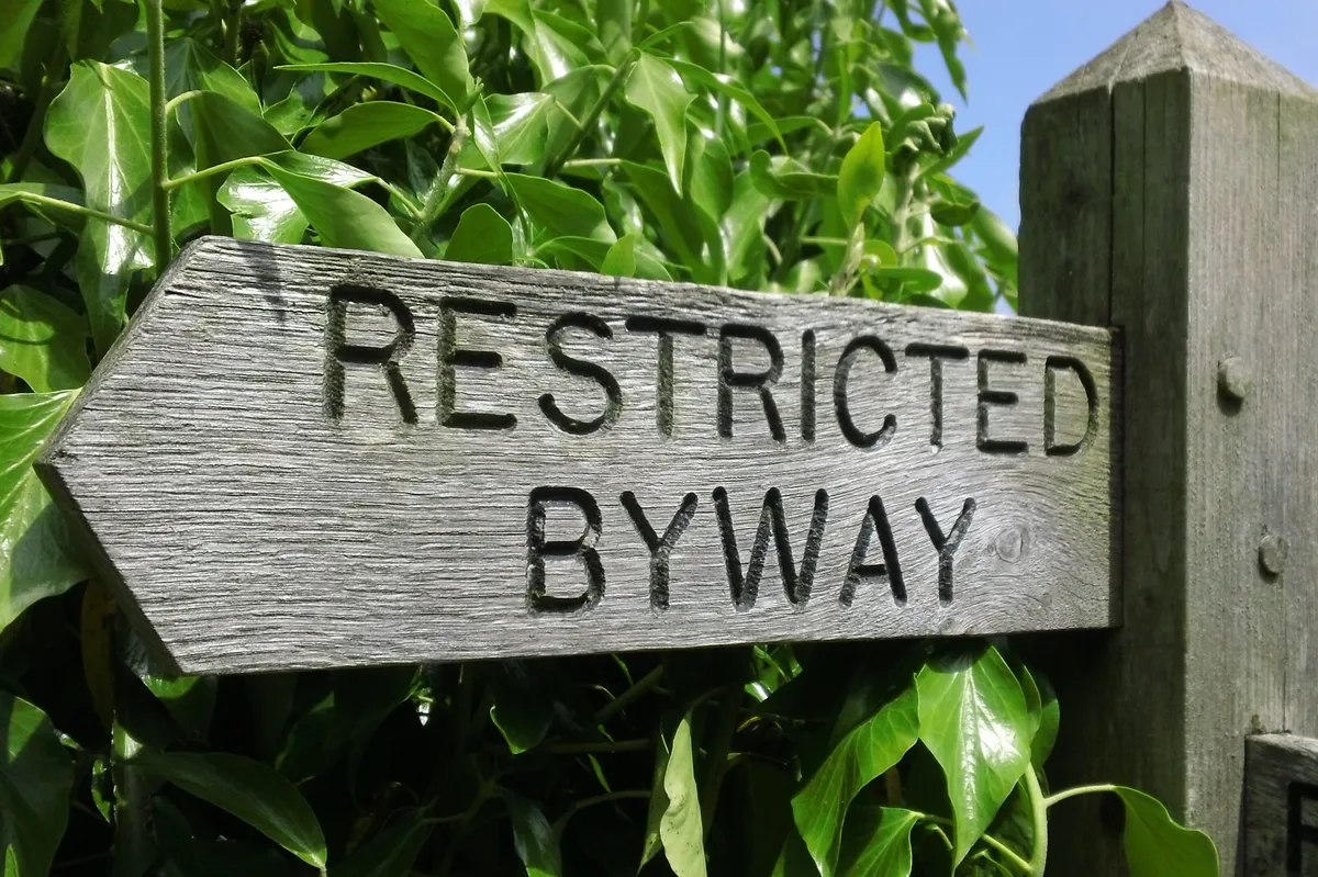
A restricted byway is likely a less familiar form of path.
Legally, a restricted byway allows you the right to pass on foot, on horseback (or accompanied by a horse), and with vehicles that are not propelled mechanically – including horse-drawn vehicles, but also including bicycles.
Fortunately, electric bikes fall under the same category as standard bicycles, so are permitted where other cycles are – despite there being an element of mechanical propulsion.
Restricted byways are limited to England and Wales.
Byways (open to all traffic) explained
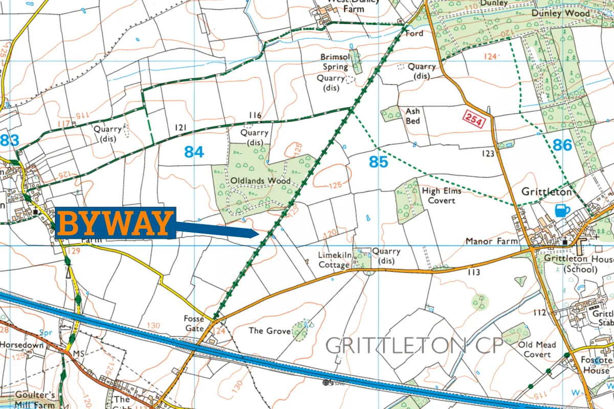
Byways come in two forms: restricted byways, as discussed, or a byway open to all traffic – a BOAT.
The BOAT name is a bit of a giveaway – vehicular traffic has a right to use these ways, but the way is ‘mainly used’ by pedestrians, cycles and horses. They are also sometimes known as green lanes, usually when being described in a motorsport context.
As with restricted byways, BOATs are limited to England and Wales.
Other rights of way
To add confusion, there are two more categories to be aware of.
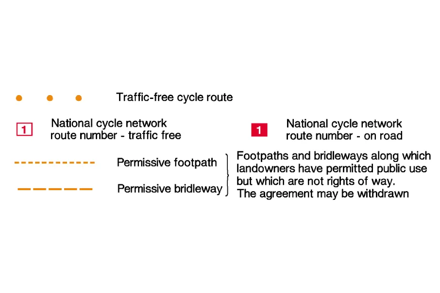
Permissive or concessionary paths are accessed at the permission of the landowner, with the landowner deciding who can use the path.
They will usually reflect a category above – such as a footpath or bridleway, but the landowner could choose to offer a path only to horses or cyclists.
These ways may be signposted to indicate that access is permissive, and are always shown with a different colour on Ordnance Survey (OS) maps.
Permissive paths are not public rights of way and can be subject to change with access permission withdrawn. For example, agricultural landowners may restrict access temporarily when moving stock or may even revoke access permanently.
White roads are another category shown on maps. On OS maps, they’re shown as ‘other routes of public access’. The presence of a white road on an OS map merely indicates its existence – information on access cannot be inferred from an OS map alone.
Accessibility for disabled riders
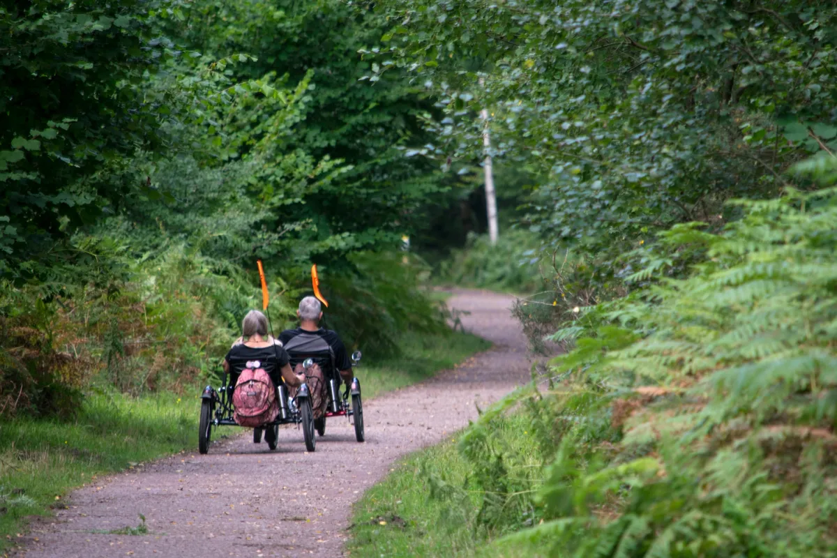
Transcending these categories are provisions for physically disabled riders using an adapted cycle for the same purpose as a wheelchair or mobility scooter.
Adaptive bikes for disabled riders can be used anywhere where access on foot applies.
However, it is worth remembering that many of these ways will have gates and stiles not designed for wheelchair or mobility vehicle users. There are some groups and movements promoting routes within the path networks that are accessible, including Miles without Stiles, for example with this Lake District map, and accessible Dartmoor.
Putting it all together – who’s allowed where?
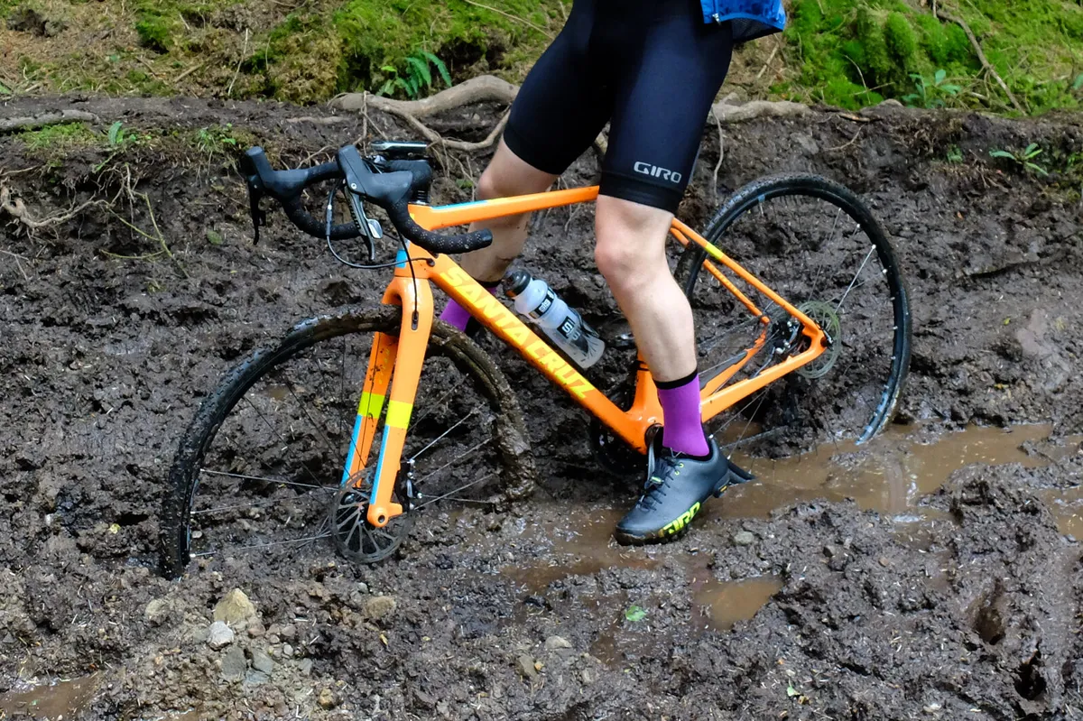
Ed Plowden, programme director of Paths for Everyone at Sustrans, helped to summarise where in this network cyclists are permitted.
He explained that ”people can legally cycle on public carriageways [roads], public bridleways, restricted byways, byways open to all traffic and cycle tracks, but not public footpaths.”
He went on to note that path infrastructure may make cycling challenging in places – “existing restrictions like gates, A and K frames, or chicanes, previously installed to try and prevent motorcycle access or as part of outdated cycle infrastructure design standards do impede access for cyclists.”
Alongside the infrastructure on paths, it is worth remembering that path classification does not guarantee path substrate.
Paths of the same category can range from tarmac to hard-packed gravel through to bog, so always be sure to research and pack appropriately when planning your route.
Sharing with care
In addition, regardless of the way type, it’s important for cyclists to consider other users while riding. Cyclists should give way to walkers and equestrians when cycling on bridleways and restricted byways.
Plowden added that cyclists should “remember to share with care, slowing down when passing other path users including people cycling, people on foot, horse riders and people in wheelchairs.
“Ring your bell or shout a gentle warning if need be, well before approaching people from behind. Remember that many people who walk, wheel or cycle also have hidden disabilities, which may mean they cannot hear or move quickly out of the way.”
Access laws by nation
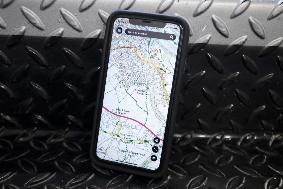
What happens away from the rights of way is largely determined by so-called ‘access laws’.
These vary by each nation of the UK, and determine how the general public is permitted to interact with the land off the beaten track.
England and Wales
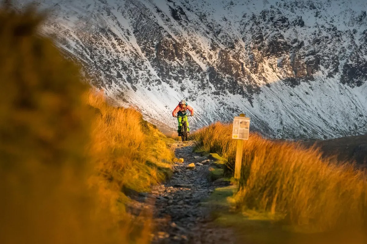
Under the Countryside and Rights of Way Act (2000, CRoW) open access land is defined as registered ‘common land’ or ‘open country’ where the public have the right to roam.
This land includes mountains, moors and heaths and some of the land around the Coast Path – covering only around 8 per cent of England.
On an OS map, this land is marked by a yellow wash with a brown/orange border, and coastal margin as a magenta wash with the same border.
Natural England also provides a search tool for finding open access land .
In England, you can use this land for walking, running, wildlife watching and rock climbing, but not usually for cycling.
There are some exceptions – if there are public bridleways or byways that cross the land you can use these, or where there are local traditions and rights of access.
In Wales, the same applies for now, with these laws currently under review and the Welsh government keen to increase access to the countryside.
In England, the Right to Roam campaign is also looking to put pressure on the government to increase accessibility to the countryside.
Scotland
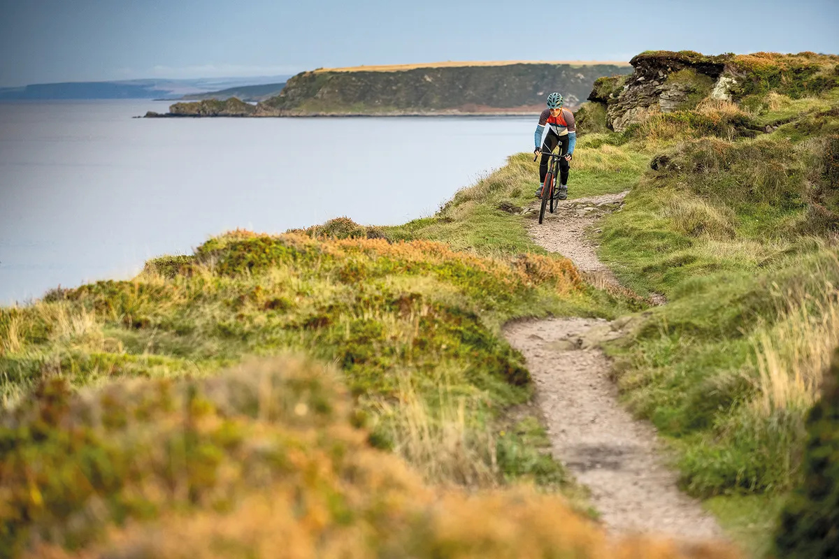
In Scotland, things are a little different.
With the existing (and enviable) ‘right to roam’, the public has a right of responsible access to almost all of the land and inland waterways in Scotland.
In contrast to England and Wales, you have the right to cycle, and to wild camp in these areas.
There’s plenty of guidance on how to do this responsibly on the Outdoor Access Scotland website.
Northern Ireland
Access laws in Northern Ireland are more restrictive than in Scotland, England or Wales.
Recent reforms allow the right of access to publicly owned forests, but the public has no general rights to wander – or cycle – over open land, including moorland and mountains.
Access depends on public rights of way, local government and individual landowners with some informal access in upland and coastal areas.
What about forests?
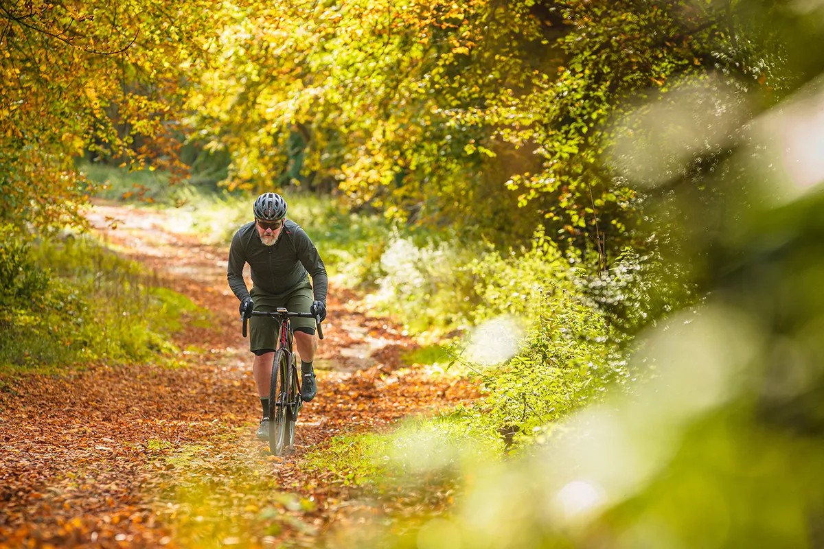
Forests can fall into the aforementioned access land categories – and on the OS map forestry land that has been marked as open access will be shaded pale green with an orange/brown border.
As per access land rules in England and Wales, the right to cycle here isn’t a given and is restricted to bridleways and byways passing through.
Other forests may be managed by government departments such as the Forestry Commission in England, and Natural Resources Wales.
Here, cycling on waymarked networks of trails is encouraged, and while they don’t seem to rule out riding off-piste, they advise this is at your own risk.
In Scotland, access rights allow you to cycle in forests and woods. The Scottish outdoor access code advises that environmental damage can be minimised by sticking to suitable paths and tracks, and Do the Ride Thing Scotland has further advice on responsible off-road cycling.
